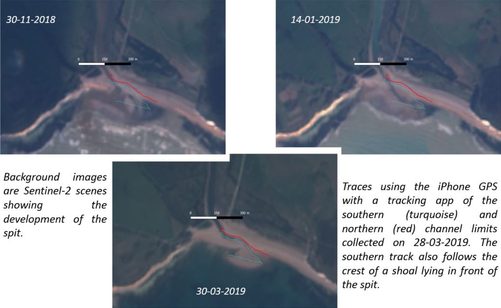
A new method for monitoring the evolution is being trialled by the Environment Agency including the use of Europe’s Sentinel-2 satellites that have a return time of 2 to 3 days. Beach changes of this magnitude are easily picked-up despite the 10 m ground resolution of the sensors (the scenes shown are interpolated), the only requirement is a cloud-free sky. In addition, the GPS in a smart phone has a positional accuracy of ± a few metres (with no obstructions of the sky view) that can also be checked with known points on the ground. Again, changes of the magnitude seen can be reliably captured with a tracking app on the phone.

